1
Upload Your Images
Drag and drop or click to browse. Supports JPG, PNG, WebP, and HEIC formats. You can upload multiple images at once for batch processing.
2
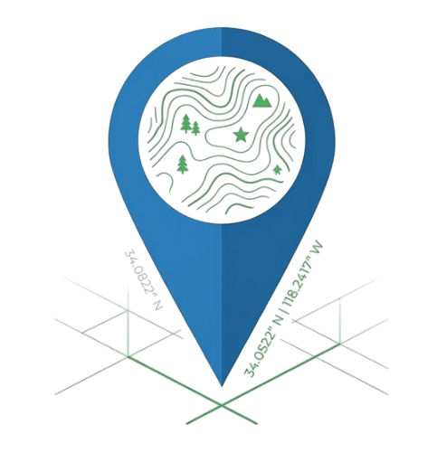
Set Location
Click on the map or search for a location. You can also manually enter GPS coordinates. The map shows exactly where your images will be tagged.
3
Add Metadata
Enter a description and keywords for your images. The tool will embed this data directly into your image files.
4
Download Tagged Images
Click download to get your images with embedded GPS data. Works with Google Photos, Apple Photos, Adobe Lightroom, and more.
✅ Metadata Verification
Your geotagged images will work with:
- Google Photos - Location shown on map
- Apple Photos - GPS data recognized
- Adobe Lightroom - Full EXIF support
- Windows Explorer - Properties show location
- Finder (macOS) - Get Info displays GPS data